
Capture Survey
Professional Land Surveying
Equipped with precision Dual-Frequency DGPS receivers and advanced digital surveying technology. We map contours, layouts, infrastructures, and FMB boundary markers with
flawless geodetic accuracy across Kerala.
Accurate Land Surveying Built On High-Tech Precision
Capture Survey is a professional land measurement, engineering, and geodetic mapping services company operating across Kerala. We provide cutting-edge solutions for real estate boundary markings, civil development, site planning, and public works alignment.
Our team is committed to assisting architects, private developers, land owners, and government entities with dependable, litigation-free mapping. We combine traditional survey wisdom with advanced DGPS receivers, digital total stations, and mapping software.
Revenue Mapping Expertise
Accurate correlation of field limits with revenue and FMB documents.
Advanced DGPS Receivers
Real-time Kinematic (RTK) coordinates with low margins of error.
Comprehensive Land Survey Solutions
We offer standard-setting measurements and certified outputs for construction, zoning, mapping, and boundary validations.
DGPS Survey
High-accuracy GPS-based surveying for precise land boundaries and infrastructure projects using state-of-the-art dual frequency receivers.
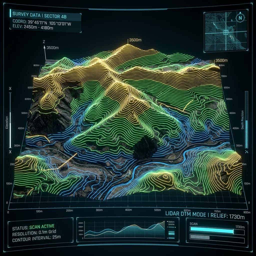
Topographic Survey
Detailed mapping of natural and man-made features, contours, elevations, and structural details for engineering planning.
Plot Designing & Setout
Accurate layout marking and architectural plotting for custom villa projects, residential subdivisions, and commercial sites.
Contour Survey
Elevation and terrain mapping to support grading plans, earthworks estimation, and drainage designs for architectural clearance.
Location Map Preparation
Official location sketches, certified site plans, and documentation support for municipal, bank, and governmental clearances.
FMB Marking
Verification and precise physical marking of Field Measurement Book boundaries based on survey records and revenue data.
Building Setout
Precise marking of pile points, columns, grids, and building foundation limits to ensure flawless construction alignment.
Road, Bridge & Canal Survey
Comprehensive corridor surveys, longitudinal profiles, cross-sections, and alignment designs for major infrastructure layouts.
What Our Clients Say
Trusted by landowners, architects, and developers across Kerala for reliable, precision-first survey work.
“Outstanding precision! Capture Survey completed our boundary demarcation with pinpoint accuracy. The team was professional and delivered the certified report on time. Highly recommended.”
“Exceptional work on our site's contour mapping. The detailed elevation data they provided saved us significantly in earthwork planning. True professionals.”
“We hired Capture Survey for our villa project setout. Their column grid marking and pile point accuracy was flawless. The construction proceeded without a single alignment issue.”
Start Your Project Survey Today
403/9 Aryambavu Kottopadam Road,
Near Milma Society, Ariyoor (PO),
Mannarkkad, Kerala 678583